
.jpg)
Fall is a good reason to revisit places you may know mainly from summer. A woodland trail, a stretch of riverfront or an hour beside the Bay can give a weekend its shape without a ticketed event. The pleasure is in slowing down enough to notice what changes: the light, the wind, the leaves and the view across the water.
Choose by the kind of outing you want. A museum-and-walk afternoon is different from a longer refuge route, and an urban trail offers different conveniences from a quiet natural area. These starting points let you make that choice before getting in the car.
First Landing: Forest and Bay in one destination
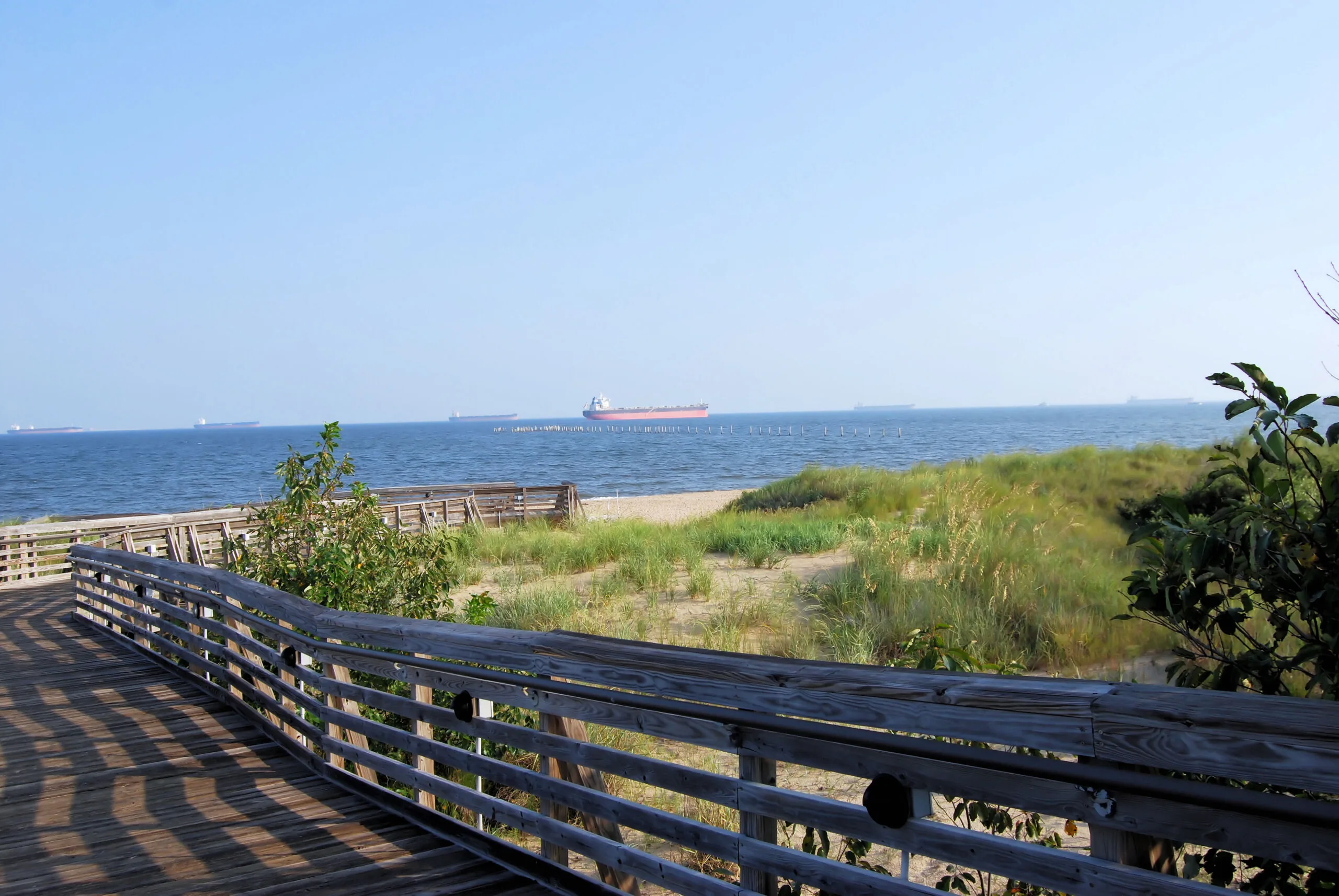
First Landing State Park in Virginia Beach brings maritime forest, cypress habitat and Chesapeake Bay access into the same park. Decide whether your visit is about a trail or time beside the water, then use the park map to choose the correct entrance. You can enjoy one without trying to fit in both.
For an autumn walk, bring a layer for exposed areas and leave time for pauses. Check current park alerts and fees; choose a route that fits the least enthusiastic walker in the group. First Landing visitor information.
Back Bay: A route that changes with the season
Back Bay National Wildlife Refuge offers a quieter Virginia Beach outing for walking and wildlife observation. Its visitor guidance gives seasonal access rules: either the East or West Dike Trail is available April 1–October 31, while winter access changes. Check which route is open on your date rather than following a summer itinerary in November.
Bring binoculars if you have them and make observation part of the plan. Choose a destination and turnaround point before setting out; the return trip deserves just as much time as the outward walk. Back Bay maps and seasonal guidance.
Norfolk: Take one piece of the Elizabeth River Trail
The Elizabeth River Trail follows a 10.5-mile urban route along Norfolk’s waterfront. Its foundation publishes a map of individual segments, landmarks, parks and parking. You do not need to complete the whole trail to have a satisfying outing.
Pick a segment that works with a meal, museum visit or neighborhood you want to explore. An out-and-back route makes the return straightforward; a longer one-way plan needs an agreed way home. Share the path with other users and pay attention at street crossings. Explore the official trail map.
Chesapeake: A woodland pause at the Arboretum
The Chesapeake Arboretum has approximately 3.5 miles of walking trails and 12 bridges, according to the city’s facility information. A map helps turn that network into a short outing instead of an accidental long walk.
Make this a day for small details: leaves gathered along the path, tree shapes and the change from open gardens to woods. Observe from the trail and leave plants and wildlife where you find them. If you are bringing a stroller or need a particular surface, check route conditions before choosing your loop. City trail and facility information.
Suffolk: Plan a specific Great Dismal Swamp visit
The Great Dismal Swamp National Wildlife Refuge is a large landscape with multiple access points, not one attraction with a single front door. Begin with the refuge’s visitor page and choose an open route that matches your time and experience.
A clear route, drinking water and a realistic turnaround time make room to enjoy the setting. Check notices before travel and treat any closure as a reason to use another permitted route. Do not promise a particular wildlife sighting; watching patiently is part of the visit. Official refuge planning information.
Hampton: History and open water at Fort Monroe
Fort Monroe gives an outdoor afternoon historical depth. The National Park Service recommends starting with its Visitor & Education Center; its planning page also connects self-guided walks, museum exhibits and the shoreline boardwalk.
Choose one historical focus and leave space for a waterfront pause. The landscape is tied to stories of slavery, freedom and national defense, so a little time with the exhibits can change what you notice outside. Plan a Fort Monroe visit.
Newport News: Choose your distance on the Noland Trail
The Mariners’ Museum describes the full Noland Trail as approximately five miles, with route combinations as short as half a mile. That flexibility makes it worth checking the map before deciding how to combine a walk with a museum visit.
Pick a shorter option if the galleries are the day’s main event, or make the trail the focus and save the museum for another visit. Respect posted trail rules and use the museum’s access information for current conditions. Noland Trail details.
Leave some daylight in the plan
Check weather, closures and the time available before setting off. A route that fits a summer evening may feel rushed later in the year. Plan a comfortable return, wear footwear suited to the surface and choose an indoor alternative when conditions make that the better day.
For a shorter urban outing in Portsmouth, our seven-city day guide pairs Olde Towne with a museum and the waterfront. For more seasonal choices, explore dated events and Things to Do.

_(4004696189).jpg)
